Know Before You Go
Table of Contents
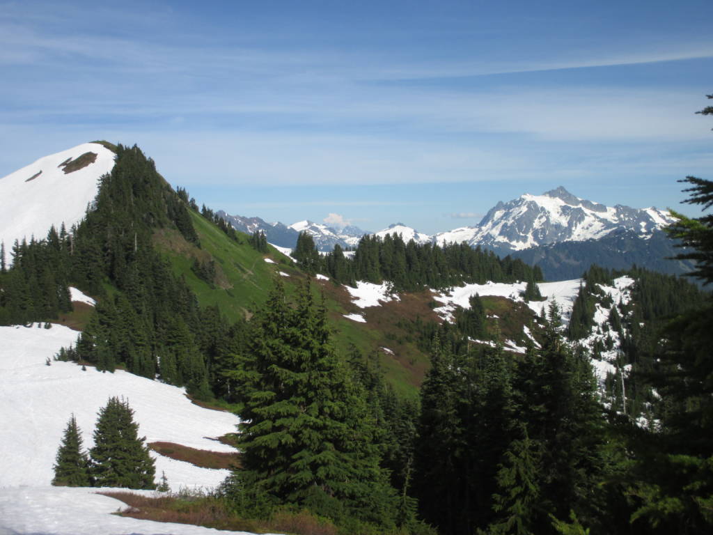
During August and September (and sometimes July) Mount Baker is covered in wildflowers and it is absolutely stunning. It is hard to pick a hike where you will not see wildflowers but these are a few where I think the flowers are the most abundant. Even if you miss the wildflowers, all of these hikes will be well worth the trek and rewarding in other aspects.
Please note that you will need a Northwest Forest Pass to park ($30 for the year). Also note that these hikes are only accessible between July and mid-October, the rest of the year there will be too much snow to hike.
These hikes are rated moderate or harder, but you can also take a drive to the Mount Baker Ski Area and wander around to find plenty of wildflower patches if you are not keen on a long hike.
These hikes are loosely listed by difficulty. Find a comprehensive list of Mount Baker hikes here, and Bellingham hikes here.
The Best Wildflower Hikes on Mount Baker Highway

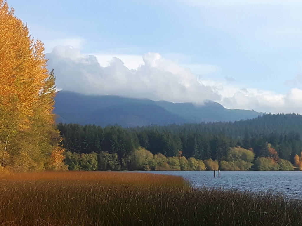
1. Chain Lakes
Distance: 6.5 miles | Elevation Gain: 1800ft | Difficulty: Moderate
This is a fantastic hike with incredible mountain and lake views has lots of wildflowers in the height of summer. In September and early October, you can find beautiful fall foliage here as well.
The trail will keep you going up and down but it is overall not too challenging and the terrain will not distract you from the views. Be sure to go counterclockwise for best results and bring sun protection as there is limited shade.
The hike starts near the Mount Baker Ski Area so you do not have to drive on any rough forest service roads to reach it.
2. Winchester Mountain
Distance: 3.1 miles | Elevation Gain: 1300ft | Difficulty: Moderate
This hike has an incredible reward for effort ratio but unfortunately starts at the end of a very rough forest service road (#3065). I strongly recommend a 4WD and to allow plenty of time to reach the trailhead.
Once you reach the trailhead at Twin Lakes you will be able to take this short ramble through the forest, meadows of flowers, past lakes, and to the summit with incredible mountain views and an old fire lookout.
If you can stomach the drive, definitely make it out to Winchester Mountain, you will not regret it.
3. Lake Ann
Distance: 9.6 miles | Elevation Gain: 2600ft | Difficulty: Moderate
This hike is long but the elevation gain is gradual which keeps it at a moderate rating, the challenging part about this hike is that it goes downhill at the beginning, which is hard to tackle on your final stretch back to your car after your legs are tired from the rest of the hike.
You will find all sorts of interesting things along this hike, including a meadow with wildflowers, waterfalls, rock fields, and big views of Mount Shuksan where you can hear the glaciers shifting. At the end of the trail, you will arrive at a lake, but I advise you to continue walking a bit past the lake for the best views. Afterward, take a quick dip in the lake if you are keen!
A great part about this hike is that it starts off of Mount Baker Highway so you do not have to do any forest road driving.
4. Heliotrope Ridge
Distance: 5.9 miles | Elevation Gain: 2000ft | Difficulty: Challenging
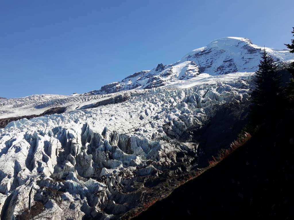
This hike is best known for the massive glacier you can get up close and personal with at the end of the trail but you will also find patches of wildflowers along the way.
This hike is a popular one and for good reason! There are a lot of different terrains, including several stream crossings (so wear grippy shoes), beautiful boulders, and some small waterfalls.
This hike is at the end of forest service road #39, it is a rough road to drive, and the parking lots still fills up quickly on a sunny weekend so be sure to arrive early or go on a weekday.
5. Skyline Divide
Distance: 8 miles | Elevation Gain: 2600ft | Difficulty: Challenging
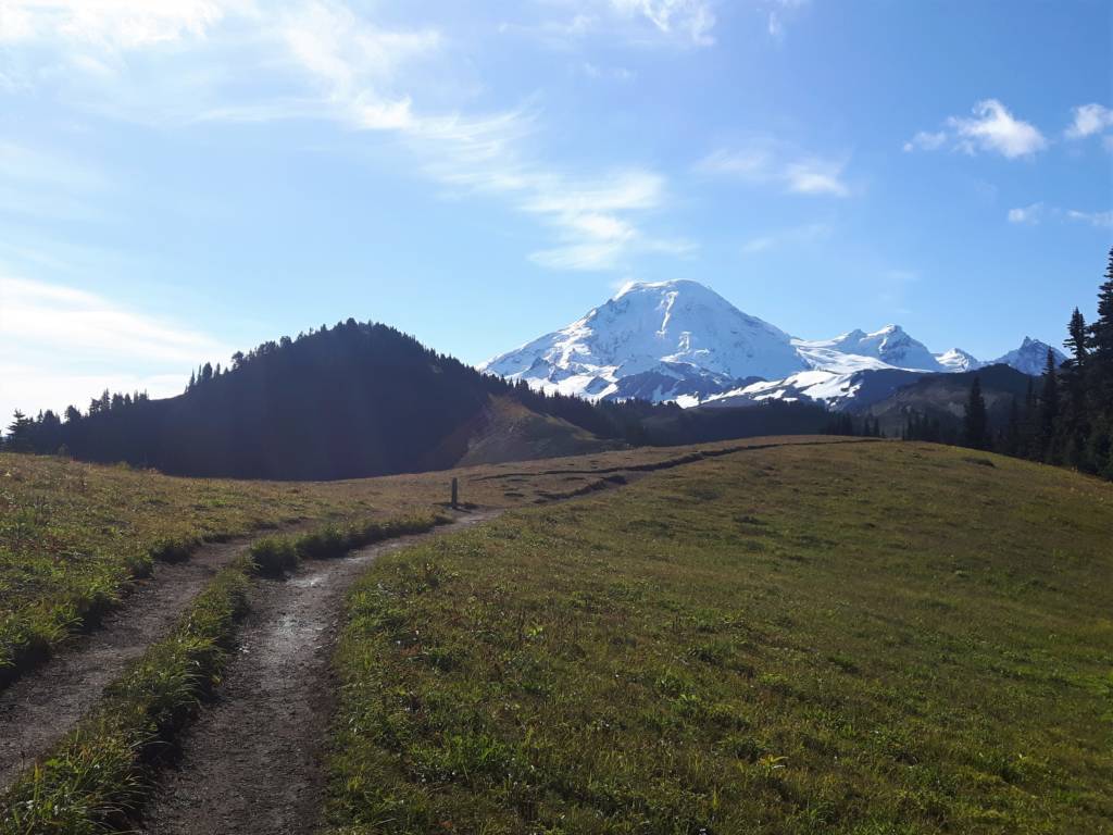
This hike starts in the forest where you cover most of the elevation gain before you emerge onto a ridge where you get your first big views of the mountains. Along this ridge, you will find patches of wildflowers as you continue on to the final viewpoint. On top of the beauty of the summer wildflowers, in the fall, you will find beautiful oranges, reds, and yellows.
This hike starts 12 miles down forest service road #37, and it has potholes the entire way. Be sure to take your time and take a 4WD vehicle if possible.
6. Excelsior Peak
Distance: 5.2 miles or 8.4 miles | Elevation Gain: 1600ft or 3600ft | Difficulty: Challenging
There are two ways to reach this stunning summit. The shorter trail options involves a long drive down forest service road #31 to the trailhead at Damfino Lakes, the road is rough and often closed due to downed trees or snow so try to check trail and road reports before attempting it. This option does get you closer to the summit so you do not have as much elevation gain.
The other (longer) option starts just off of Mount Baker Highway so you do not have to worry about rough driving, flat tires, and motion sickness; however, the trail is longer and steeper.
Whichever way you choose you will be rewarded with stunning 360 mountain views and wildflowers along the way. I highly recommend this hike.
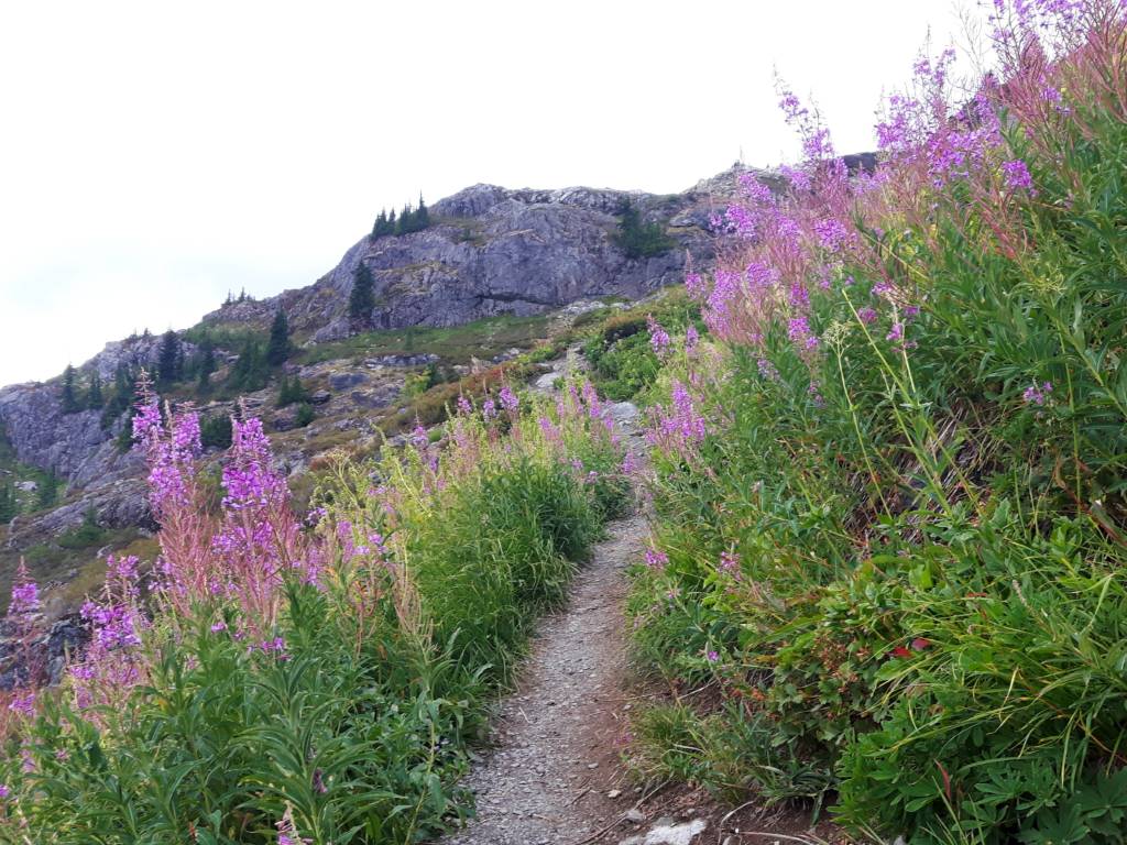
7. Yellow Aster Butte
Distance: 8.7 miles | Elevation Gain: 2800ft | Difficulty: Challenging

This hike boasts some of my favorite wildflowers on the list. There are lots of beautiful seasonal flowers (which include yellow aster) but there are also lots of wild blueberries and other smaller shrubs that maintain an orangey hue thought the year making it feel like summer and fall mixed together at the same time. In the fall these colors only become more vibrant and it makes for an amazing autumnal trek.
The hike itself is also beautiful with lots of elevation gain in the first half which is forested. The trail then emerges onto a ridge and flattens out somewhat with lots of wildflower-lined paths. A final tough push at the very end will get you to the summit with big 360-degree mountain views.
The trailhead is on forest service road #3065 which is potholed and rough so take your time and take a 4WD vehicle if possible.
8. Hannegan Peak
Distance: 9.6 miles | Elevation Gain: 3100ft | Difficulty: Challenging
This hike has a nice gradual elevation gain, so though the stats seem challenging, you won’t have to work too hard until a steep section at the end. Throughout the hike, you will find beautiful wildflowers, wild blueberries, waterfalls, and stunning views of Mount Shuksan and beyond.
This hike starts after a long drive on forest service road #32 which will have plenty of potholes and can be washed out. Be sure to take your time and take a 4WD vehicle if possible.
Be sure to download a map before you go because the trail forks to take you to either Hannegan Pass or Hannegan Peak at one point and you want to make sure you continue on to the peak.
9. Church Mountain
Distance: 8.4 miles | Elevation Gain: 3800ft | Difficulty: Challenging
This trail is definitely challenging and is a leg burner in the beginning until you emerge out into a big flat meadow that is filled with wildflowers. After enjoying the meadows you will have one final steep ascent to the summit where you can take in the 360 mountain views that greet you. A stunner of a hike, but one you have to really work for.
Note that this hike starts on forest service road #3040 so be prepared to drive slowly over all of the potholes and take a 4WD vehicle if possible.
Conclusion
Wildflowers in the alpine bloom later than flowers at sea level. They have a shorter growing season but they are hardy and really make the mountains even more magical than they already are.
If you only want to do a short hike around Mount Baker Ski Area you will be sure to find some flowers along short paths like Artist Point, Bagley Creek, and the Fire and Ice Trail. Please try to stay on trail so that we can protect this precious habitat for many generations to come. Most of all, happy hiking!


Welcome to Alpine Feeling! My name is Talon, an outdoor enthusiast who has spent extensive time in the mountains of Vancouver, Washington State, and the Canadian Rocky Mountains.